From parcel to planet,
you design the future
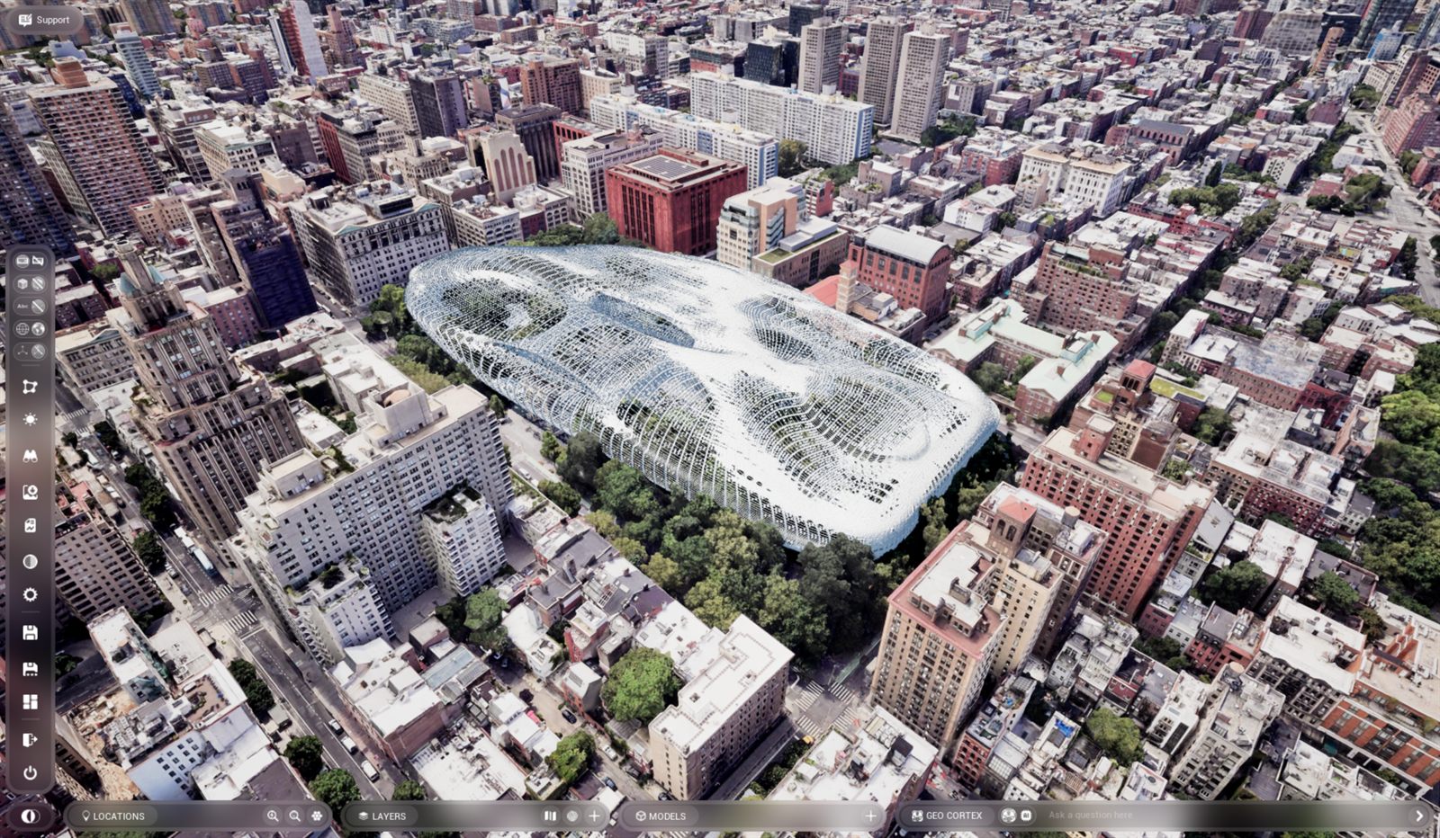
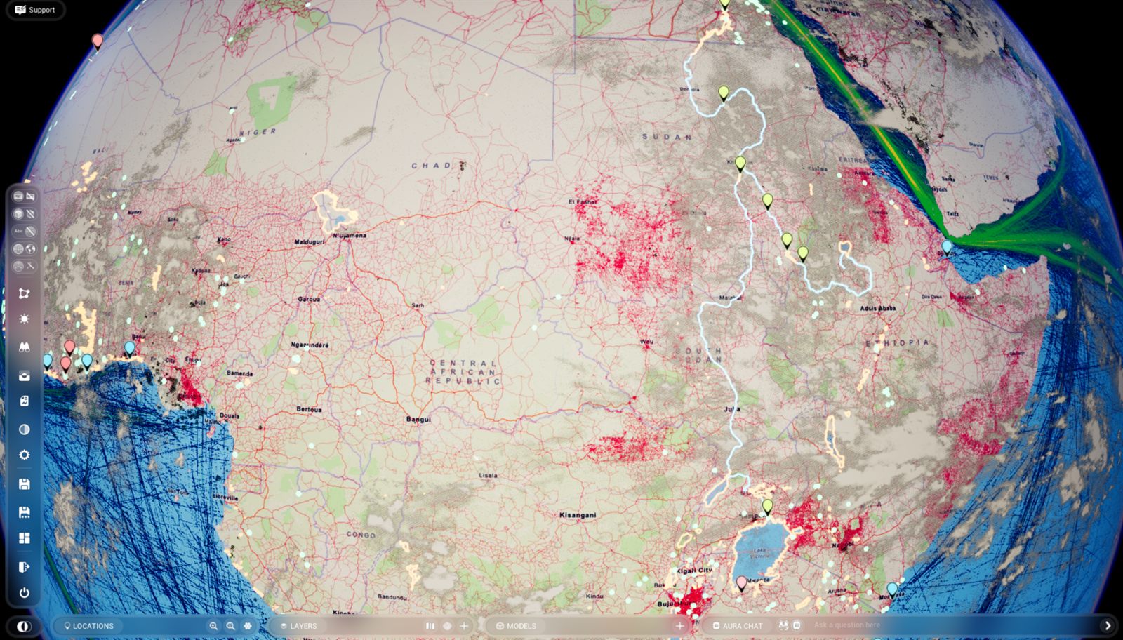
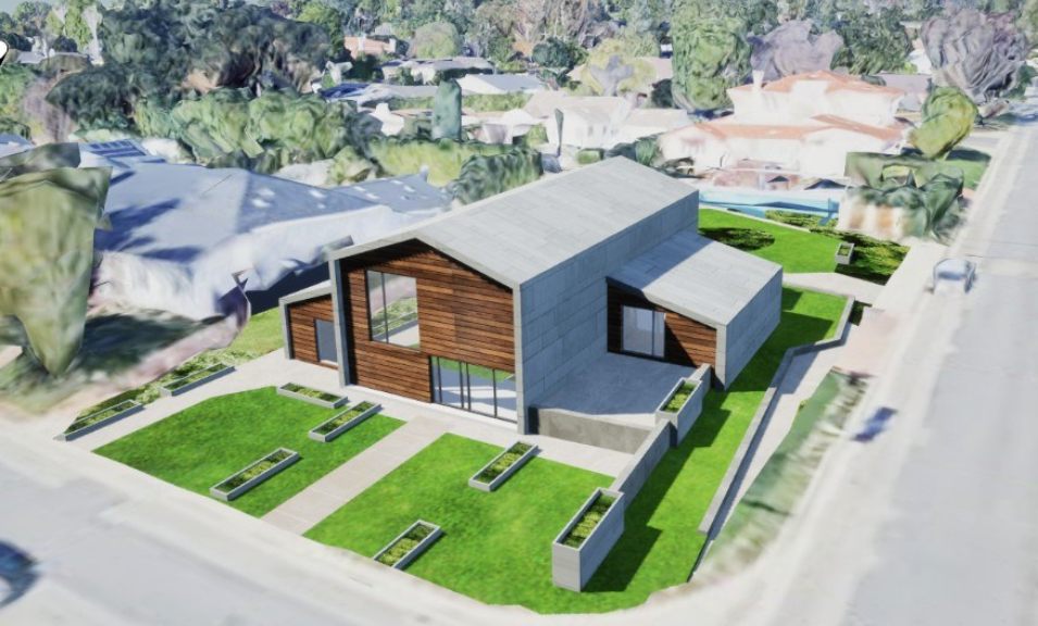
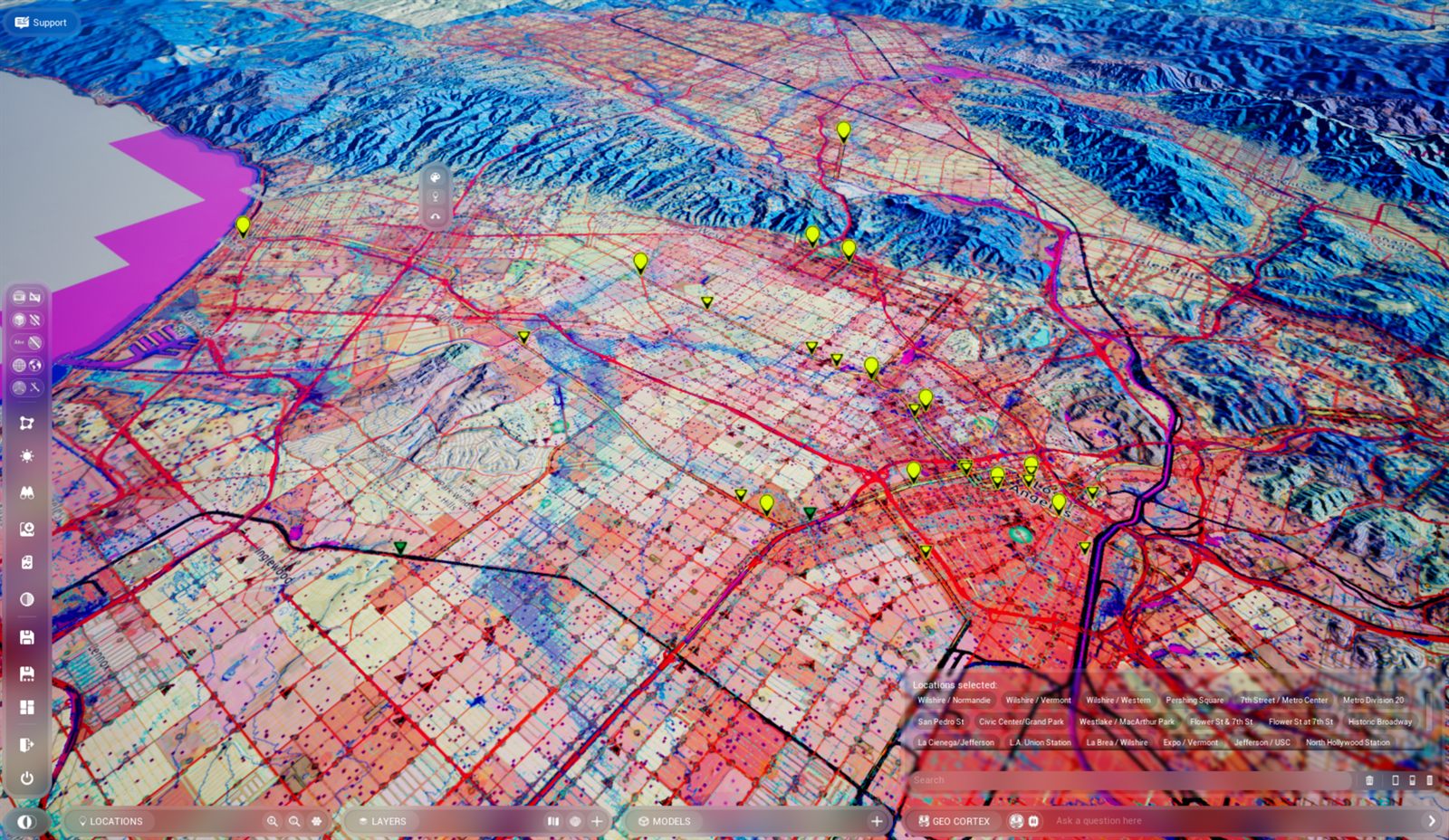
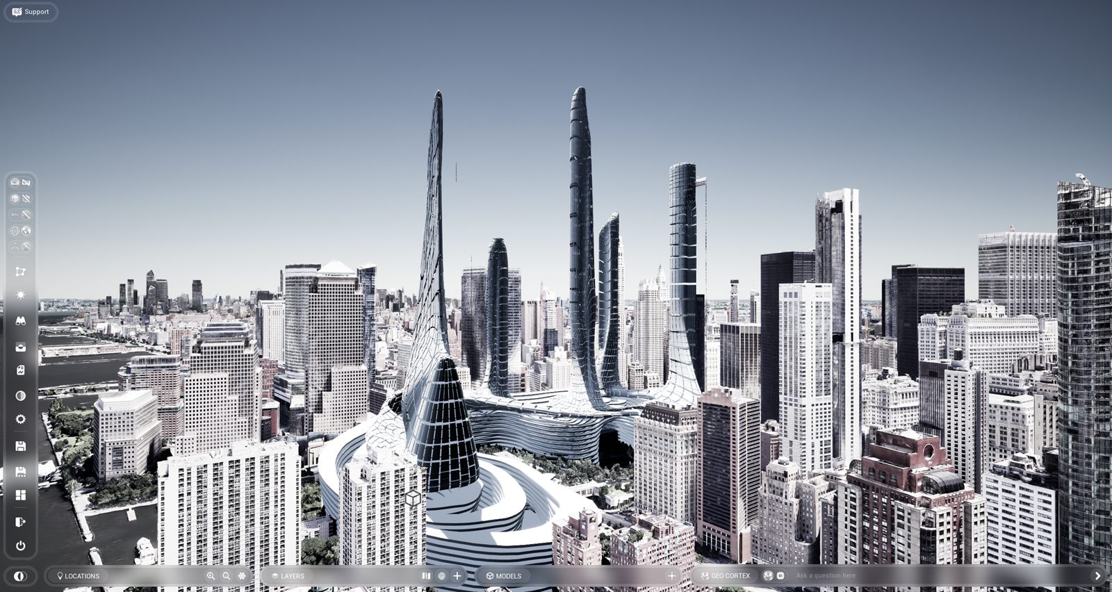
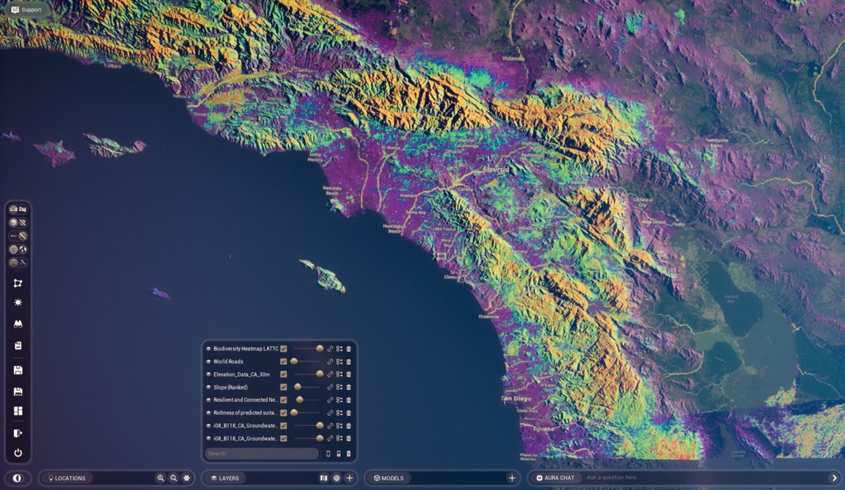
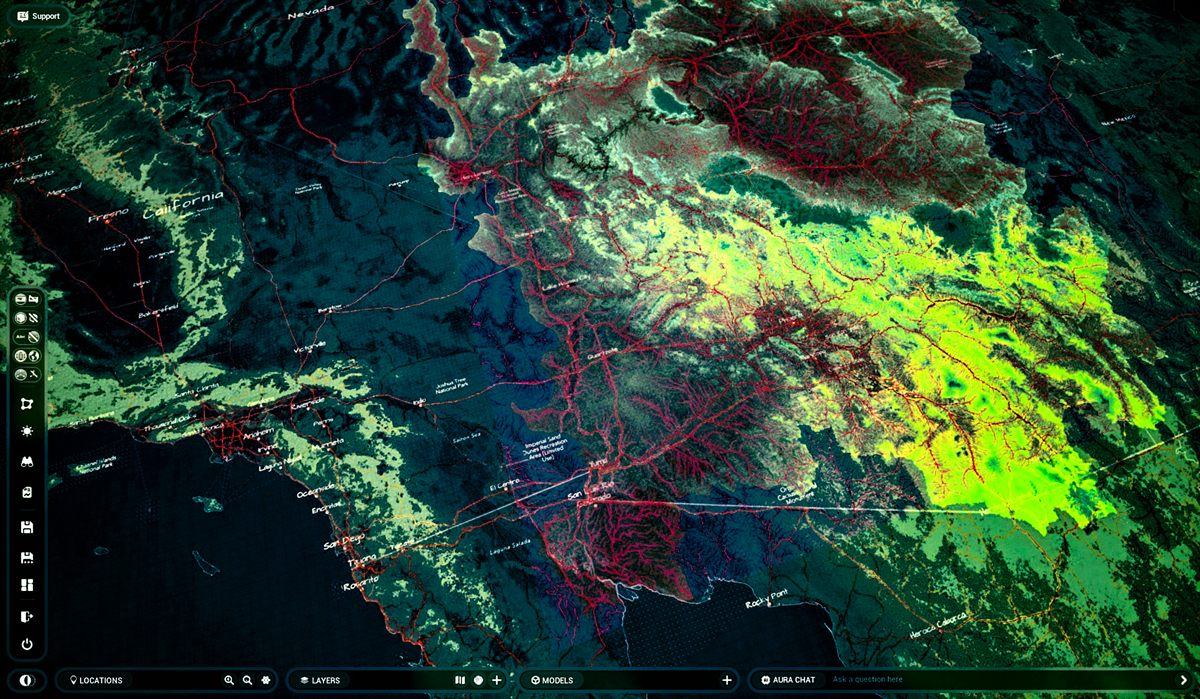
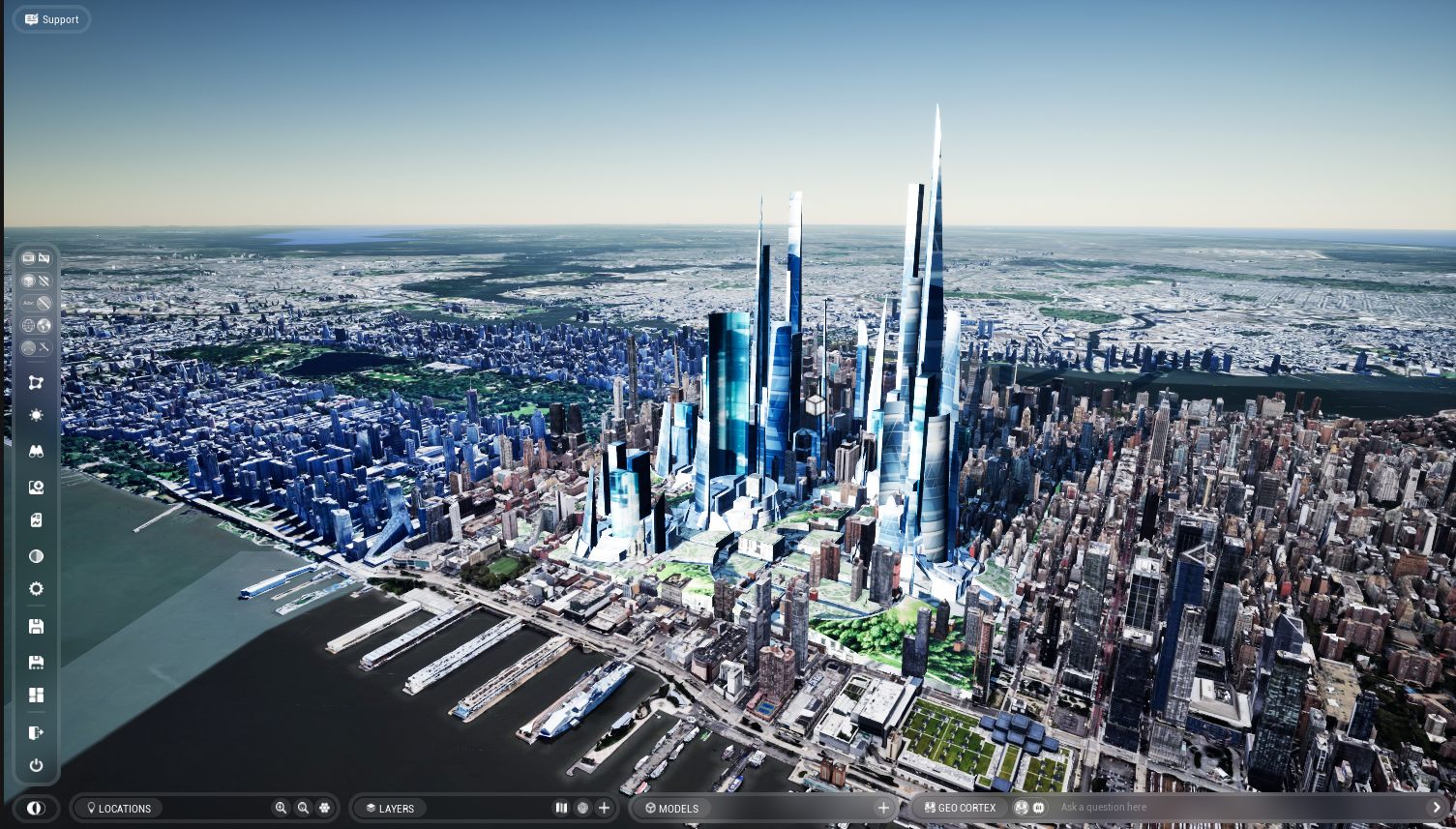
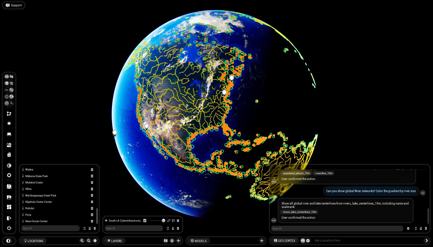
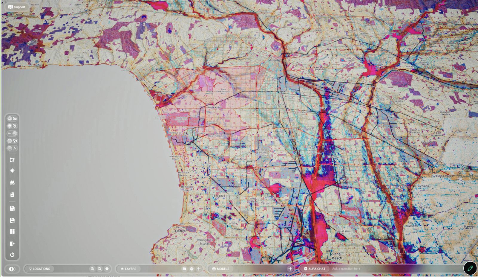
Visions : Real in-engine screenshots from our users.

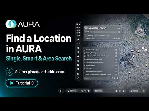
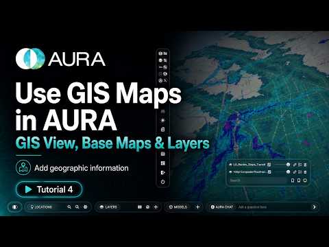
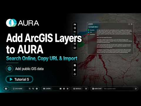
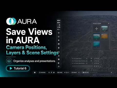
Maps that think with you
Most platforms just collect data. AURA turns it into a living simulation you can question, explore, and act on — test a design, watch its consequences unfold, and change course before anything is built.
Ask in plain language
Ask about any place the way you'd ask a colleague. AURA works out what you mean, finds the data, and answers on the map.
Zoning answers, instantly
Check what a site allows in real time — AURA weighs your design against local rules and suggests changes that fit.
Documents, onto the map
Drop in plans and policy documents. AURA reads them and pins what matters — places, rules, and projects — right where they belong.
Meaning in every pixel
AI reads heat, slope, and solar imagery for you — turning raw pixels into site-specific insight and clear recommendations.
Connections across layers
Put zoning, environment, and demographics side by side — and surface the patterns that shape policy, equity, and land use.
From raw data to shared insight
Every source — 3D models, GIS layers, files, and live services — flows through one pipeline: brought in, organized, fused into a single world, reasoned over, and shared anywhere.
3D models
Buildings, sites, and model collections
GIS layers
Maps, basemaps, and legends
Geospatial files
Shapefiles, CSV, and JSON
Your workspace
Projects and scene assets
Fetch & stream
Pull data in efficiently
Read & decode
Parse every file type
Standardize
Map formats to one schema
Catalog & save
Index and persist your work
Build the scene
Assemble the live 3D world
Place on the map
Search layers and features
Translate formats
Every source, one spatial language
Add context
Enrich with research and places
Spatial analysis
Query and classify in context
Reports
Generate summaries and PDFs
Quality checks
Track status and validate
Insights
Cross-layer metrics for decisions
Interactive UI
Widgets and blueprint controls
Live digital twin
Real-time runtime scene
Exports
Sheets, files, and APIs
Stream & collaborate
Share anywhere, together
A real-time engine,
not a map viewer
GIS gives AURA the planet — terrain, parcels, climate, every feature layer. BIM gives it the built world — your models, placed on their real sites. AI reasons across both. And Unreal Engine fuses all three into one photoreal, living world you can fly through in real time.
Ask the planet questions
Type "show me all the schools" — and watch the answer draw itself onto the world in front of you.
Drop your designs into reality
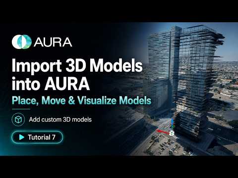
Bring your own models straight into real-world context — see your building on its actual site, in actual sunlight.
See the connections
Your documents, data, and locations woven into a living 3D web of relationships you can fly through.
Research that maps itself
Point AURA at a topic and it gathers the knowledge — then places it on the globe where it belongs.
Real conditions, always
True sun angles, terrain, and live urban data — every scenario grounded in the world as it actually is.
Your work, everywhere
Workspaces follow you across devices. Close the tab in the studio, reopen it on site.
City-scale worlds,
at game-engine speed
AURA Engine is the real-time 3D environment at the heart of the platform — built in the world's leading game engine. It fuses photoreal terrain, imported BIM models, and live GIS feature layers into one navigable world that runs smoothly at metropolitan scale.
UE5 material system
Unreal-quality light, surfaces, and materials — visuals a boardroom grasps at a glance, no explanation needed.
Dual-globe system
Switch seamlessly between Google-Earth-style photoreal 3D and analytical data maps, without leaving the scene.
Detailed infrastructure modeling
Roads, interchanges, utilities, and buildings — modeled inside the live world at the detail real decisions demand.
Instant context for designers
Drop a design onto its real site and see it in true terrain, sun, and surrounding fabric — immediately.
One-click parcel clipping
Isolate any parcel or study area in a single action to focus analysis and presentation where it matters.
BIM ↔ GIS fidelity
Presentation-grade visuals layered over rigorous data — the built world and the living planet in one model.
Cities are living systems
Rivers act like arteries. Forests function like neural networks. Soil stores information. Light carries data. Energy moves through the planet the way signals move through the brain.
Once you see that, you can't design cities as isolated objects anymore. AURA models the built environment as it really is — one organism, sensing, learning, and adapting.
Harmonic patterns
- Watersheds regulating flow through wetlands
- Green corridors cooling urban microclimates
- Distributed renewables synced to landscape
Dysfunctional patterns
- Urban heat islands and lost canopy
- Channelized rivers, broken hydrology
- Sprawl fragmenting habitat and mobility
AURA makes the difference measurable — and designable.
From a single parcel
to the whole planet
Built for what's coming
Climate resilience
Adapt infrastructure to rising seas, extreme heat, and storms — with scenarios stakeholders can stand inside.
Biodiversity restoration
Identify and protect ecological corridors before they fragment.
Energy transition
Design distributed renewable networks that work with the landscape, not against it.
Collaborative planning
Policymakers and residents step into the same simulation and see the same future — agreement comes faster when everyone is standing in it.
Build with nature's geometries, not against them
Ancient builders aligned their cities with the land. The industrial age built against it. AURA exists to bring design back into partnership with living systems — not through myth, but through rigorous data and immersive tools.
AURA makes that harmony something you can design — cities, infrastructure, and landscapes shaped to move with the planet's natural systems, not against them.
"The Earth is not a backdrop. It is an intelligent organism with flows, grids, feedback loops, and memory." — Jack Oliva-Rendler, Co-founder | CEO
One plan.
Everything included.
Try everything free for 30 days, then your membership rolls into monthly billing. Cancel anytime.
- Full AURA Engine desktop client
- Photoreal digital twin of any city on Earth
- Live GIS layers, BIM import, and AI analytics
- Cloud workspaces that follow you across devices
- Every update shipped during your membership
Let us build it for you
Beyond the platform, our studio takes on bespoke commissions — custom digital twins, simulations, and immersive environments, designed and delivered around your site, your data, and your vision.
Custom digital twins
Photoreal, data-driven twins of your site, city, or region — built on AURA and rendered in real time.
Simulation & analysis
Climate, hydrology, energy, and ecological modeling — turned into scenarios your stakeholders can walk through.
Immersive experiences
Bespoke XR walkthroughs and interactive visualizations for design review, public engagement, and investment.
The people behind AURA

Arthur Modine
Cofounder of Openended. Professor of Architecture. Arthur conceived AURA as his Master's Thesis project — a vision of a fully immersive, data-driven geospatial AI platform. Under his leadership, AURA has grown into a team of passionate developers, educators, and activists. Co-founder of LA-based 3D printing company Openended, featured in Glitch Magazine and Harper's Bazaar. He teaches architecture at Los Angeles Trade Technical College.

Jack Rendler
Author of Terrestrial Architecture. Futurly Master Class, PA Academy. Jack attended SCI-Arc — winning an Undergraduate Thesis Prize — and earned his Master's at Harvard GSD. He received a Mars City Design award for Urban Design in a competition judged by NASA and Dassault Systems. His work explores multi-scalar ecological solutions in digital 3D modeling, GIS, and algorithmic methods at planetary, bio-regional, and community scales.

Marcela Oliva
Board of USGBC California, 2012 Educator of the Year. For a decade before joining AURA, Marcela served as Knowledge Architect for the $9 billion Building Program at the Los Angeles Community College District, spearheading the nation's largest Digital Twin/Virtualization BIM/GIS system. Professor of Architecture and Environmental Design at LATTC and founder of UCLA Extension Courses: Transforming Community and Design for Social Justice.

Kathleen Cohen
Founder of Collaboratorium, advisor to Holoride (Audi). A tech humanist and XR immersive strategist with 25+ years building user and guest experiences. Through The Collaboratorium she leads special computing, XR research, strategy & production — with clients from Megacity and Gigacity projects to Health & Wellness, Media & Entertainment. Background includes DreamWorks Interactive, IBM Centers for Innovation, and Walt Disney.

Rohan Singh
Unreal Engine community developer with multiple public workshop plugins. Rohan has built digital twins across HTC, HP, Microsoft HoloLens, and Meta Quest platforms, and leads the real-time 3D front end of AURA Engine.
Working alongside leading institutions

Join the AURA mailing list
Updates on the engine, the research, and early access.